Surveying practices
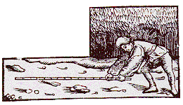
Surveying with a pole
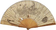
- Geometrei
- J.Kobel, Geometrei. Von kunstlichem Feldmessen (Francfort,1563)
[click on the picture to enlarge it]

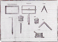
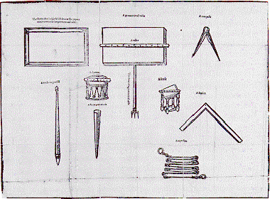
- Instruments
- C. Lucar: Lucarsolace, 1590
[click on the picture to enlarge it]
Earlier surveying practices consisted of direct measuring of land with poles or ropes: the surveyor had to move from one point to another, placing a measuring rod between them.
The instruments used would include rulers or chains and compasses or squares.
Direct measurement was used in combination with newer methods for Rocque’s map of London (mid 18th century).
Triangulation
Later, the methods of astronomy were adapted to surveying.
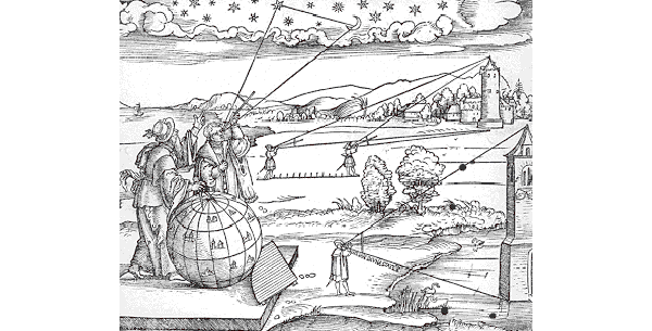
An instrument called Jacob’s staff was used in astronomy for the measurement of angles between planets or stars viewed from the earth: this was a triangulation method.
Its use was transferred to the measurement of land, which supposes a mathematical conception of space as a eometrical grid applied to the landscape. The surveyor no longer has to move; his eye only measures the landscape.
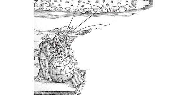
An instrument called Jacob’s staff was used in astronomy for the measurement of angles between planets or stars viewed from the earth: this was a triangulation method.

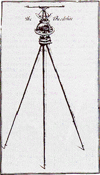
- The theodolite
- The theodolite (frequently called circumferentor), from S. Wyld, The Practical Surveyor (London, 1725)
[click on the picture to enlarge it]
![[click on the picture to enlarge it]](IMG/gif/jacob2-2.gif)
![[click on the picture to enlarge it]](IMG/gif/jacob2-1.gif)
The data would then be submitted to trigonometrical calculations to complete the mapping.
Such methods were used for Rocque’s map of London (mid 18th century)
The theodolite was also used by John Wood to design the Royal Crescent in Bath.
The new geometrical approach to urban space is evident as well in the gridiron plan of the New Town in Edinburgh.
[
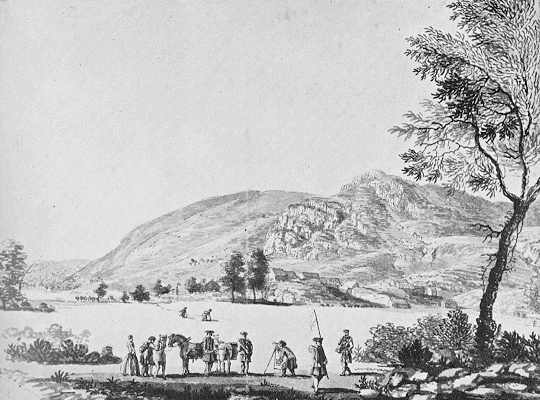
- A surveying party
- Paul Sandby’s view of a surveying party in Scotland (1749). The surveyor uses a circumferentor. The Sandby brothers were draughtsmen. (British Library)
[click on the picture to enlarge it]
![[click on the picture to enlarge it]](IMG/gif/964.gif)
6>doc99]