Surveying London with a theodolite

John Collet Covent Garden c.1770-80 Courtesy of the Museum of London

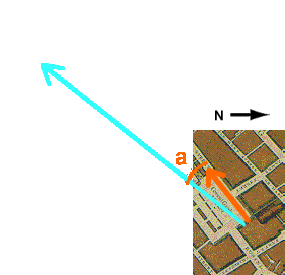
The later surveying methods implied using a theodolite and making trigonometrical calculations.
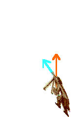
Click on the blue arrow turned towards the spire of St Martin’s- in-the-Fields to make the cartographer turn and point his circumferentor towards the spire; the direction will appear on the map.
the circumferentor shows an angle of a = 15 °
this measurement is then completed by calculations.
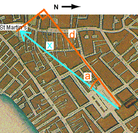
Supposing the distance d to be known from previous measurements (500 yards), and the circumferentor having returned the angle a = 15 ° (sin = 0.26 ; cos = 0.97 ; tg = 0.27 ; ctg = 3.7), calculate distance x to the spire by completing the following formula with the correct number from the list:

 x = 500 / 0.97
The missing element in the formula is the cosine !
x = 500 / 0.97
x = 515 yards ; the map is now completed