
The history of Edinburgh in maps
1647: The Old Town
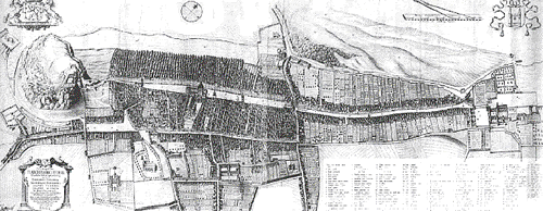
- 1647: The Old Town
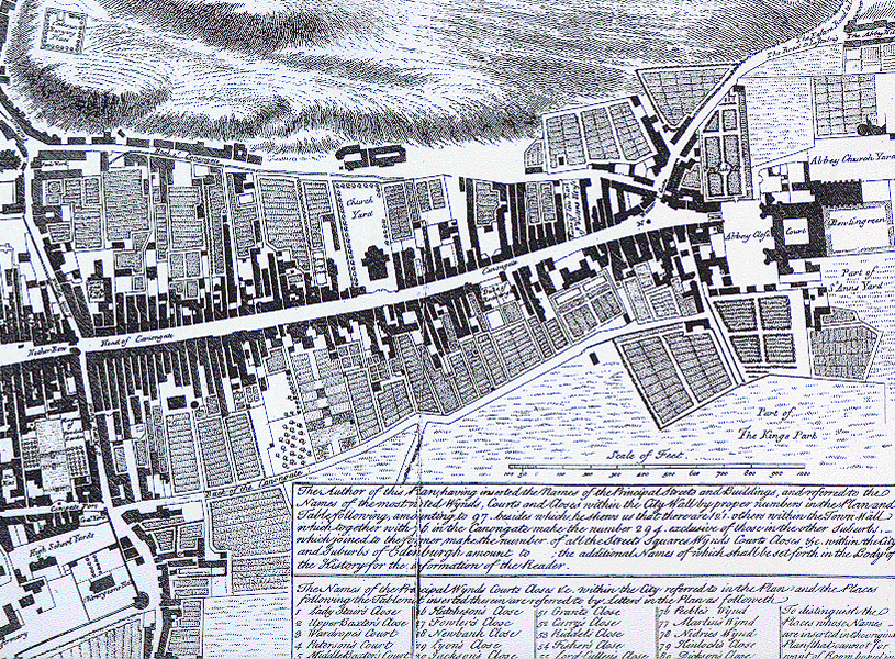
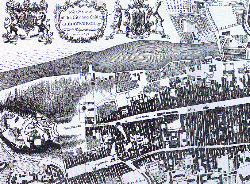
1742 : The Old Town and Loch Nor to the North
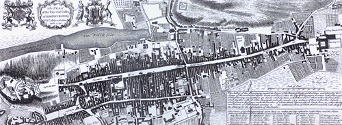
- A Plan of the City and Castle of Edinburgh (East) ,
- A Plan of the City and Castle of Edinburgh (West) , )
1778: Plan of the New Town (apparent)
")
- zoom in on image
")
1778: The plan of the New Town is apparent ; the streets of the Eastern part are already built (marked in black) ; Loch Nor is still visible between the Old and New Towns
1803: The New Town (complete)
")
- zoom in on image
")
1803: The New Town is complete; the Second New Town (Ds history of Ed in maps) to the North is being built.