
Maps of Bath
- Donne: A New and Correct Plan of the City of Bath (1810)
- Map of Bath: 1803 - Jane Austen’s world
- Map of Bath: late 18th century
- Map of Bath: 1735
- Map of Bath: 1694
- Map of Bath: 17th century
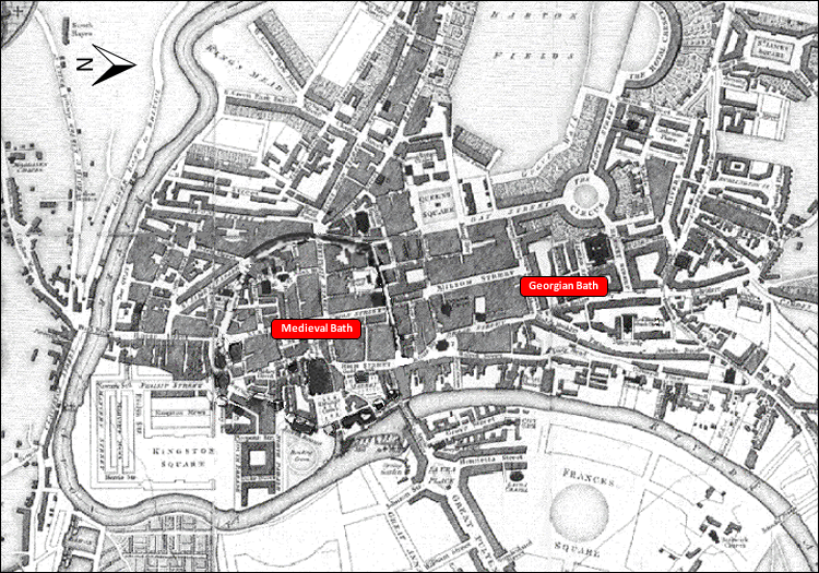
The development of the city from the medieval nucleus to the Georgian town is shown by the maps of Bath from the 17th century to the early 19th century (accessed by clicking on the buttons in the column to the right)
Maps of Bath - Computer model
This video shows a computer model of the development of Bath from 1730 onwards, first on a map then in a fly-over from Queen Square to the Royal Crescent.
This computer model was created in 1996 by CASA (Centre for Advanced Studies in Architecture, The University of Bath, Professors Alan Day and Robert Tavernor), where computer models of Edinburgh and of Covent Garden (London) have also been created.