
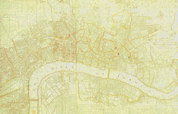
Bowles’s map of London (1764)

- John Bowles’s map (1764)
- [click on the picture to enlarge it]
This map, which indicates the administrative subdivisions, shows the extension of the built area towards the North.
This map, which indicates the administrative subdivisions, shows the extension of the built area towards the North.